Hiking - Mt.Tam
Last time I said that I'd come back for a full hike. And... I did.
Parked at the same lot I camped at last time, and I made it my mission to get a full hike in, ultimately deciding on the popular Steep Ravine - Dipsea loop, a 4 mile super scenic trail. It's popular for a reason -- without having to trek long distances, hikers are rewarded with ocean views, lush woodlands, and redwoods. Even with it's popularity, the trail is long enough that we got the trail to ourselves most of the time. And although the redwood forest is definitely smaller than what I would've seen in the touristy Muir Woods, it is thankfully less crowded.
Some Highlights:
I couldn't resist trying to chimney my way up between these two trees on the trail. Chimneys are not my strong suit -- I've only tried a chimney route once at a gym over a year ago and I barely made it halfway. Not much has changed, haha.
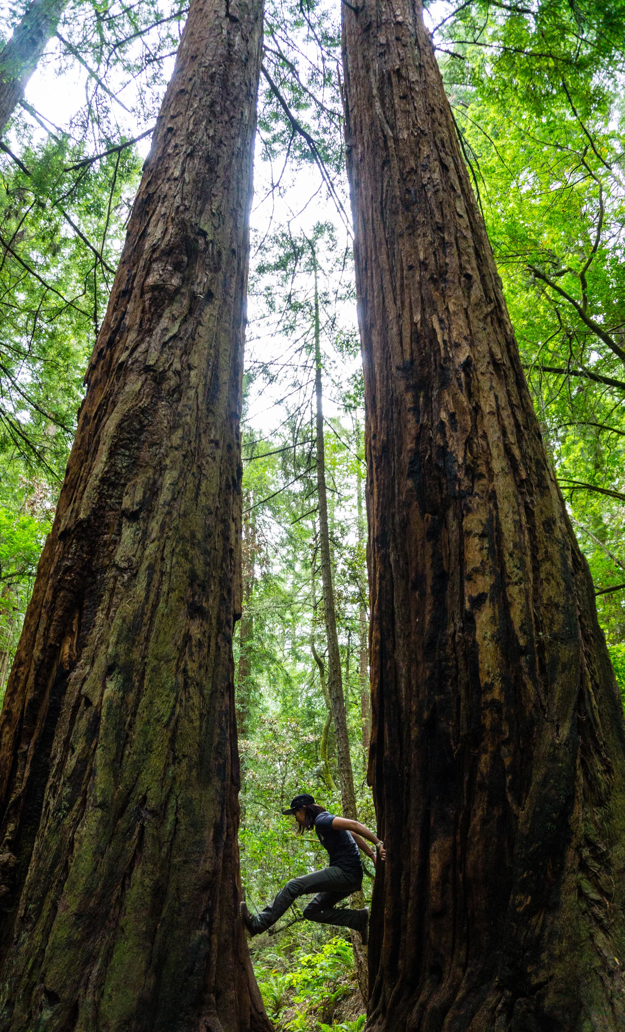
DSC00576d
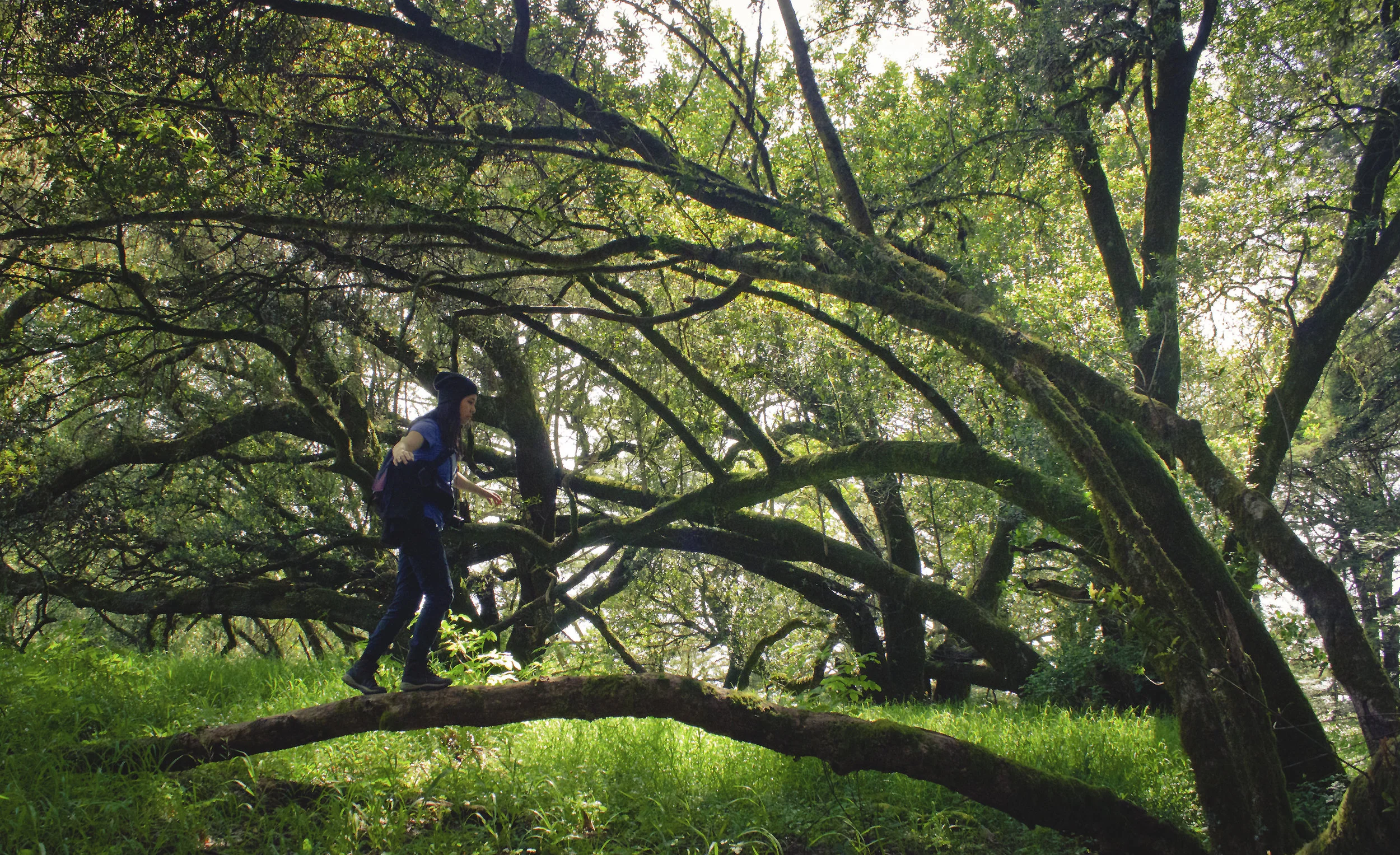
We tried to walk across this log and not one of us even made it halfway. Somehow the log felt rounder when we stood on it. I have pretty decent balance and I do slackline occasionally, but I could not find my center of gravity on there for the life of me.
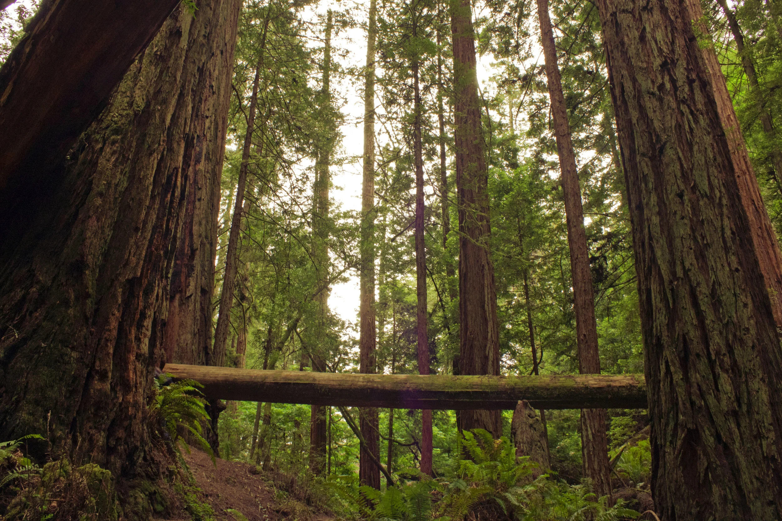
IMG_7474
Lush green goodness:
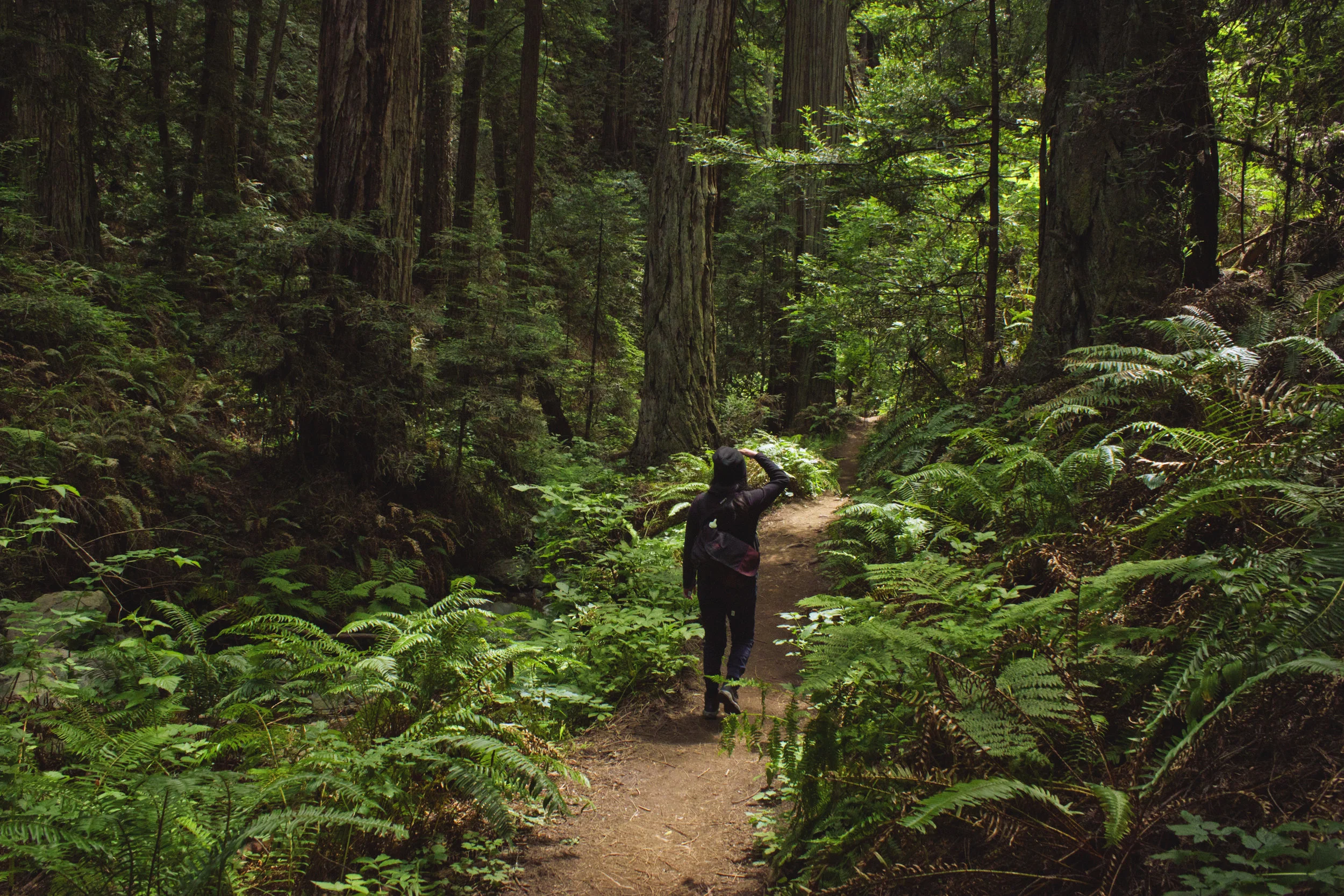
IMG_7519
We stopped just about every 20 minutes to take pictures. Unfortunately we didn't think to take pictures of the 10ft ladder we had to climb down. It's the picture everyone sees when they look up the steep ravine trail, but I was being absentminded.
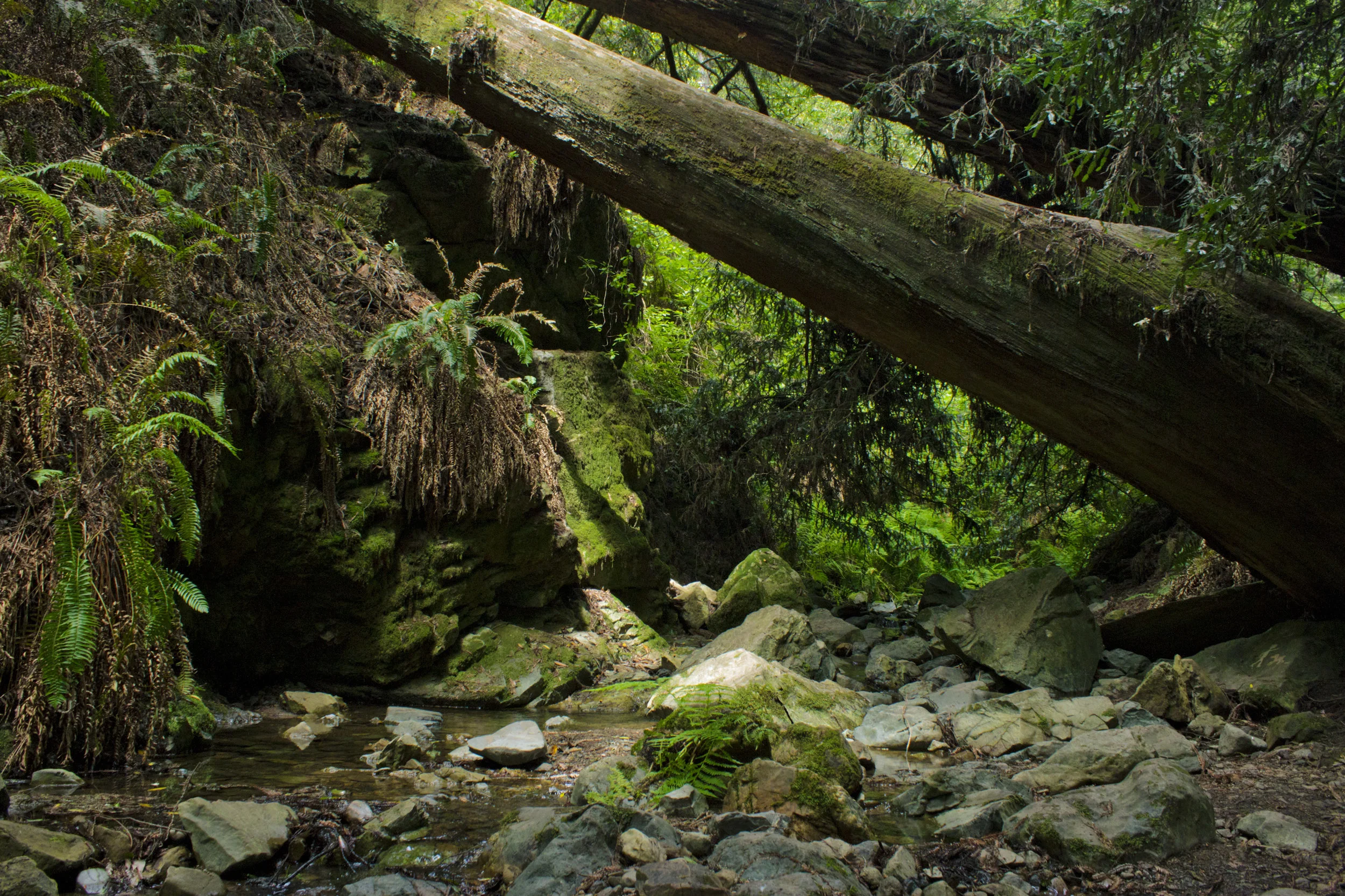
IMG_7525
We had our lunch next to this small waterfall, sharing our bread, hummus, and cashew clusters:
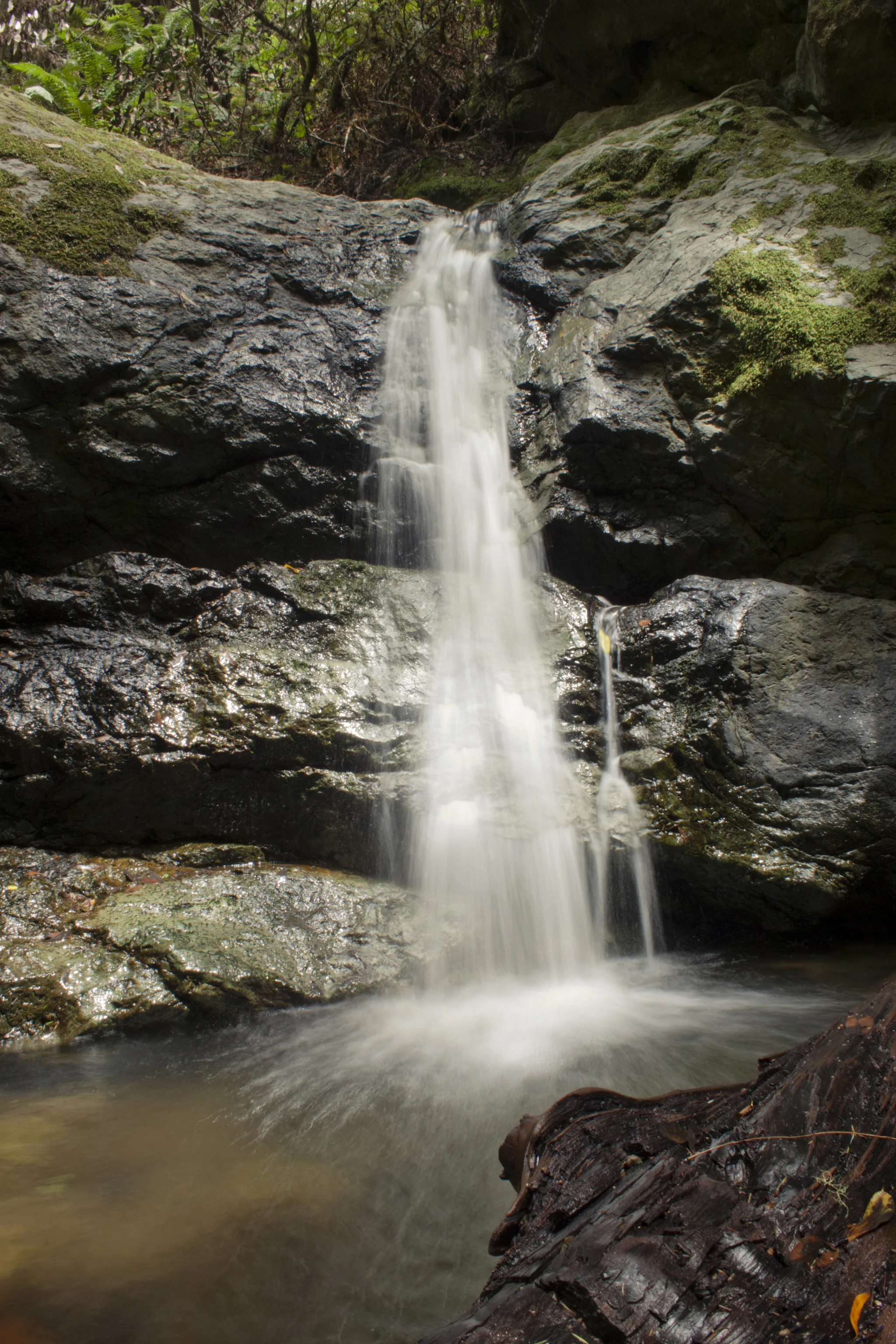
IMG_7504
Following the steep ravine we found the crossroad to get onto the Dipsea trail. We dipped our feet while we soaked up the sun that finally made it's way out of the overcast clouds. It was a nice rest before making our ascent up the first portion of Dispea Trail from the Steep Ravine split (stairs, stairs, stairs).
Another one of our photography breaks:
IMG_7551
Redwood forest, with my friend for scale. She said this was her favorite part of her hike, and that it reminded her a bit of Land's End Trail in San Francisco.
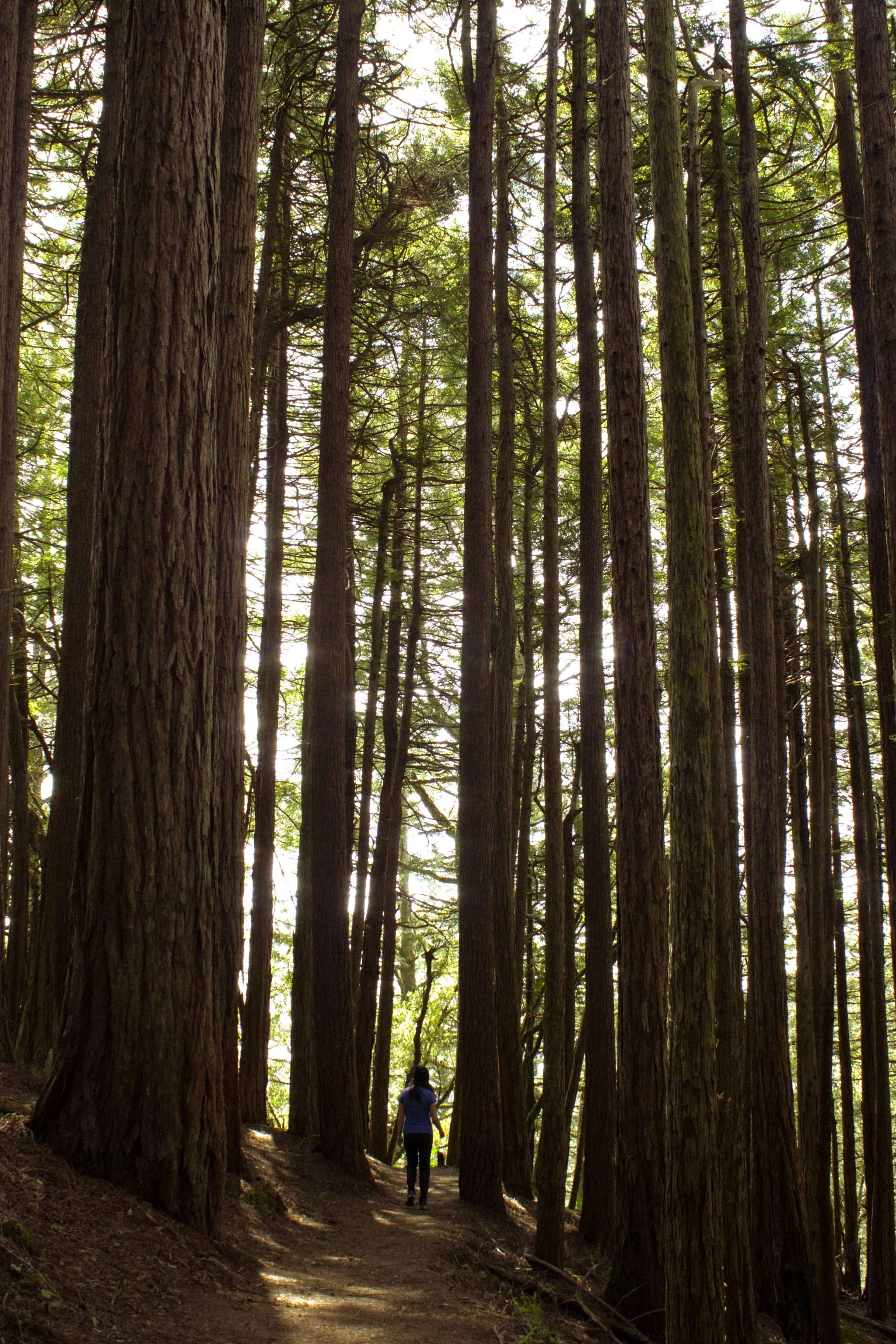
IMG_7544
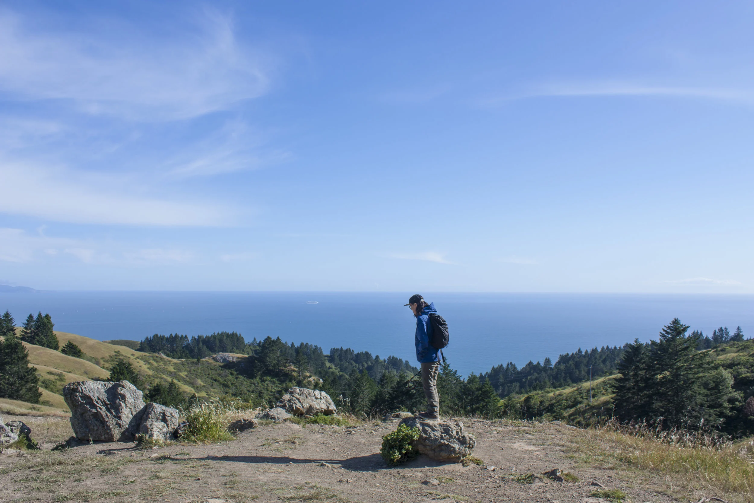
And then, the ocean. The fog from earlier moved further inland, letting us take in blue skies and a view of the ocean we had been hearing. To the left is a somewhat decent view of Ocean Beach, with San Francisco and East bay tucked between the hills of Mt. Tam. Quick-moving fog obstructed our view though. It was a bit windy around here:
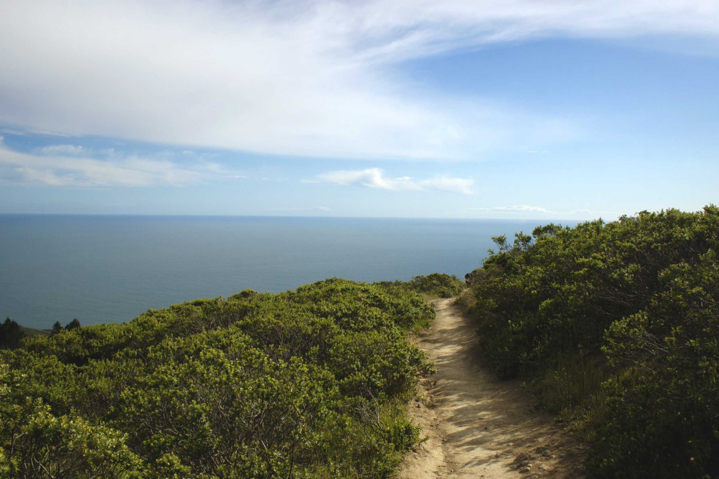
IMG_7580
Hanging out by the Lone Tree Springs, where we spotted huge jackrabbits while my friend took a GoPro timelapse:
IMG_8641
The day in its entirety:
Total time spent stopped to take photos: 1.5 hours Total time spent sitting around eating/chilling: 1 hour Total time spent actually hiking: 2.5 hours Total time spent out: 5 hours
By the time we left to go get dinner, it was almost 6. We made it back to a nearby city and gorged on some BBQ, happy to eat and excited to go through our pictures from the day. It was a pretty chill day with chill peeps and some fun photography.
Looking forward to coming back again and doing more hikes. Maybe a camping trip? Summer is officially here, after all.
Featured Photo: My photo twin leading us through the trails, May 2016 Parking: Parked at Bootjack, 8 dollar parking for the day
Follow me on Instagram!